
Murray to Clare Lavender Cycling Trail (M2C)
The Murray to Clare Lavender Cycling Trail (M2C) is a 300-kilometre cycling route that leads riders through some of South Australia’s most charming rural landscapes. Inspired by the Lavender Federation Walking Trail, the M2C follows a network of quiet dirt roads, farm tracks and back-country lanes from Murray Bridge to Clare, offering an immersive way to experience the state’s eastern ranges and pastoral towns.
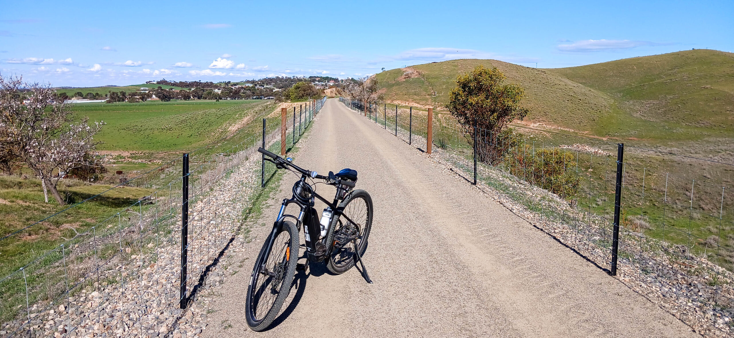
Designed and maintained entirely by volunteers through SARTI, the trail takes cyclists through a changing patchwork of countryside. from river flats and rolling farmland to historic settlements, vineyards and wide-open hillsides. Along the way, riders pass through towns including Tungkillo, Dutton, Eudunda, Waterloo, Manoora, Mintaro, Watervale and finally Clare, making it easy to break the route into smaller day stages or overnight adventures.
The trail is well-loved for its peaceful gravel surfaces and its sense of escape. Most of the route avoids busy roads, giving cyclists the chance to enjoy long, uninterrupted stretches of country riding. Sections near Waterloo, Robertstown, Eudunda and Point Pass offer particularly beautiful views across the Goyder region, with climbs such as Quinns Gap and Webbs Gap adding a satisfying challenge for more experienced riders.
For cyclists looking to explore South Australia at a more relaxed pace, the M2C offers a unique journey through quiet landscapes, historic communities and the wide horizons of the Mid North. Whether you ride a single section or take on the full route from Murray Bridge to Clare, the Lavender Cycling Trail is a rewarding and memorable way to experience the heart of regional South Australia.
Visit the Lavender Cycling Trail website for more information and an interactive map.